Remote Sensing
Precision in Resource Management with Remote Sensing
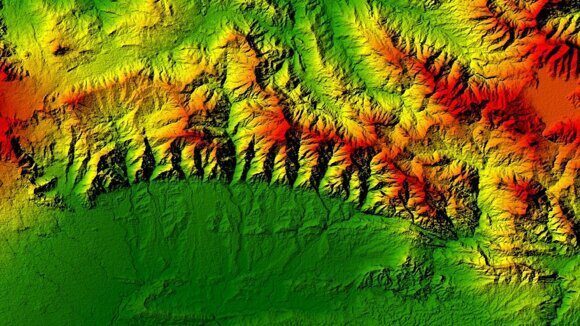
At SAF Drilling, remote sensing plays a crucial role in our exploration and resource management services, enabling us to collect data from vast or hard-to-reach areas quickly and efficiently. By utilizing satellite imagery, aerial photography, and LiDAR technology, we gain valuable insights into surface conditions, vegetation, and topography. These tools help us identify potential drilling sites and monitor landscape changes over time, ensuring precise planning and effective resource management.
With remote sensing, SAF Drilling ensures timely, cost-effective data collection while reducing the need for extensive field surveys. This approach enables us to plan drilling projects more efficiently, whether monitoring terrain for construction or evaluating groundwater resources. Our advanced technology and skilled professionals ensure that we deliver innovative, sustainable solutions with minimal environmental impact, ensuring long-term value and client satisfaction across all projects.
